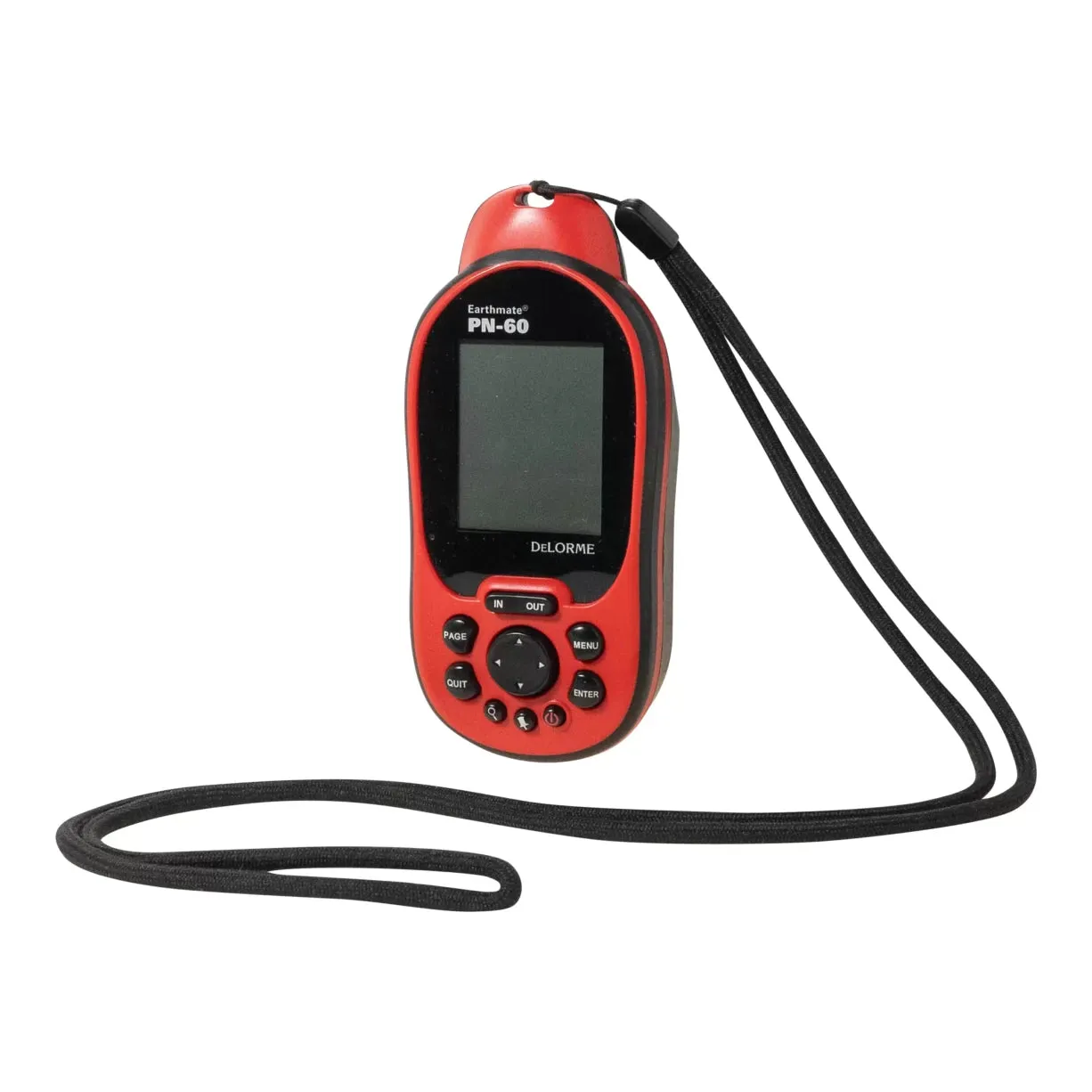
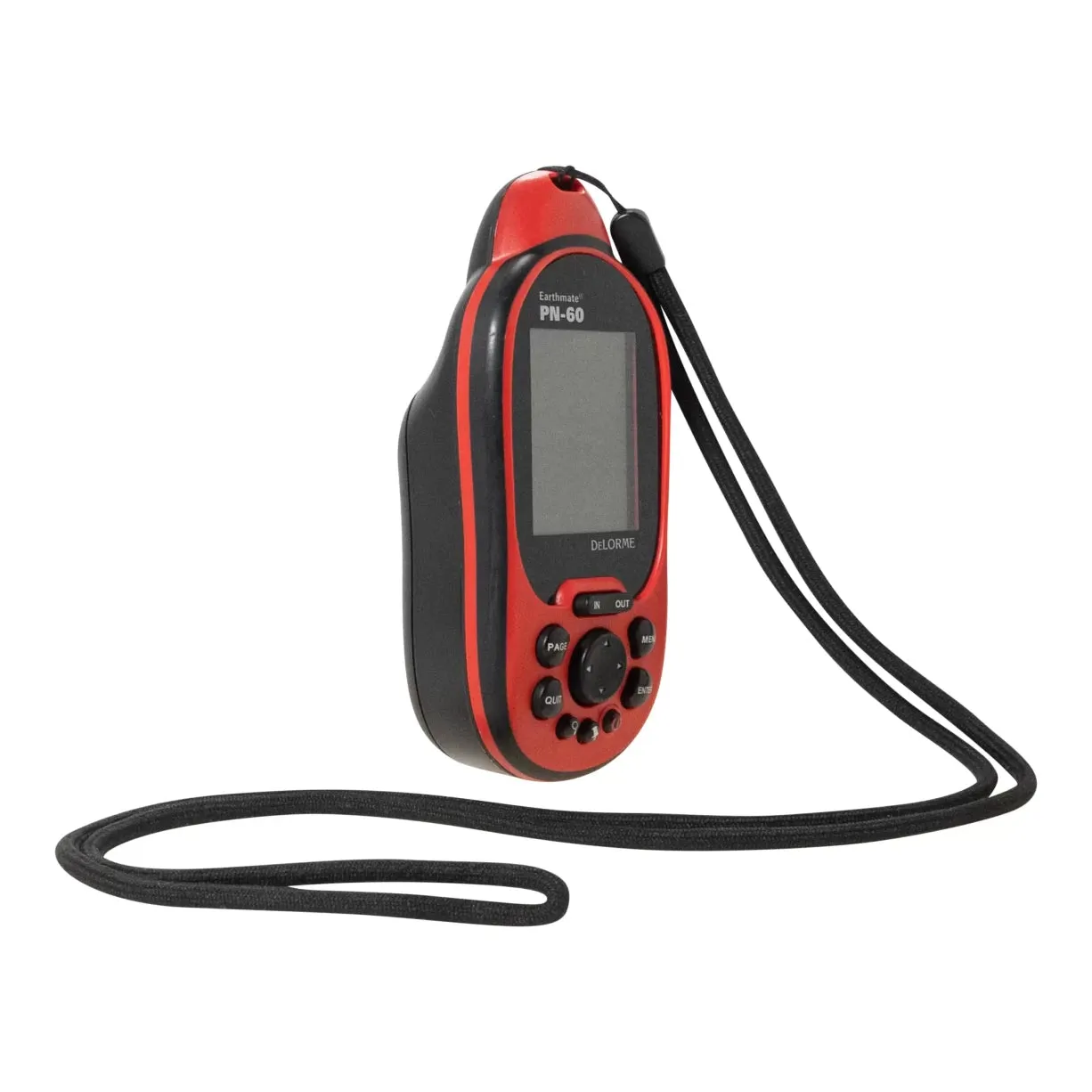
The DeLorme Earthmate PN-60 GPS is a high-performance navigation tool designed to provide reliable and accurate location tracking. This device is equipped with a high-sensitivity receiver that ensures fast signal acquisition and lock, even in challenging environments. The PN-60 features a bright, sunlight-readable color screen that displays detailed topographic maps, aerial imagery, and other useful navigation data. The device also includes a barometric altimeter and electronic compass for advanced navigation capabilities.
PRODUCT CONDITION
This UnNew DeLorme Earthmate PN-60 GPS is in Good condition.
Products in Good condition have been well loved, but still have life left in them. Signs of wear may include pilling, snags, lint, animal hair, dried dirt, minor but noticeable staining, and other cosmetic imperfections. Small tears or holes may be present, but will not affect the functionality of the item.
With this item, the following damages were observed:
- Older item age (released around 2010/2011)
- Some light rust/corrosion of external hardware
TECH SPECS
- User-friendly icon-based interface allows easy on-screen navigation
- PN-60 delivers high-quality color Topo USA 9.0 mapping as well as amazing aerial, color satellite and USGS maps
- Displays elevation profiles pinpointing your position, scanned paper maps and other third-party imagery
- Enhanced battery life extends PN-60's use in the field
- Allows you to create field logs that are predefined for specific activities and exchange GPX files (including waypoints, tracks, and geocaches) to an SD card
- See your location and plot routes on all types of maps: USGS quad, aerial, colorized satellite imagery and DeLorme Topo USA topo and street maps
- Preloaded worldwide highway and major road base maps can be overlaid with various map types at user-controlled zoom levels
- Includes DeLorme Topo USA National software with full vector-based topographic and street-level desktop mapping to plan your next outing
- Upload maps, routes and waypoints to the Earthmate PN-60 as well as view tracks, routes and waypoints made in the field within the desktop software back at home
- Hit the trail fast! PN-60's address-level street routing lets user plan and follow driving routes within areas that map coverage has been uploaded
- High-resolution, transreflective TFT color display with 2.2-in. viewing area is readable in a range of ambient light, from sunlight to total darkness
- Generous 3.5GB internal flash memory for user-uploaded maps; SD memory card slot accepts up to 32GB SDHC cards for storage of extensive map sets
- Powerful, high-sensitivity, chipset and proprietary filter yield rapid Time To First Fix (TTFF), outstanding signal retention and enhanced accuracy
- NMEA-compliant 32-channel receiver maintains a signal lock in dense foliage and narrow urban canyons
- Electronic compass and barometric altimeter aid navigation
- Waterproof construction keeps unit functioning; meets IPX-7 standards (submerge 1m for 30 min.)
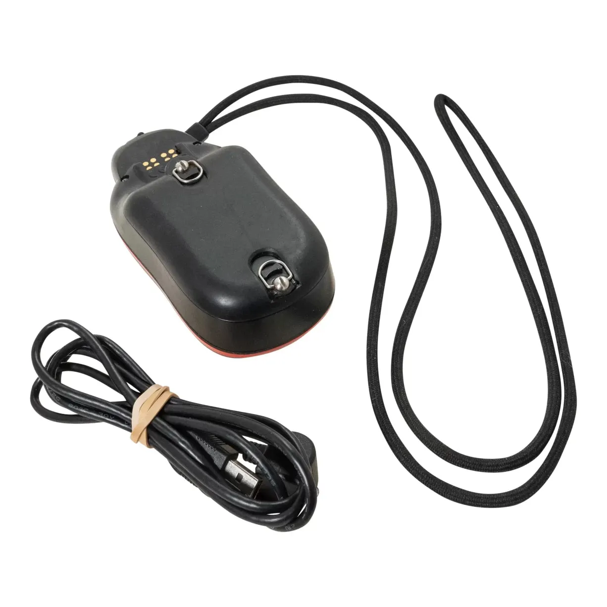
- Requires 2 AA batteries (not included)
- Includes lanyard, charging cord, and manual


